A FASCINATING new insight into what went on in East Limerick in the War of Independence and the Civil War is being put together.
A project run by Joanna Brück and Aidan Harte from the UCD School of Archaeology brought together local knowledge, archaeological fieldwork and archival research to map the sites and landscapes of the revolutionary period in East Limerick.
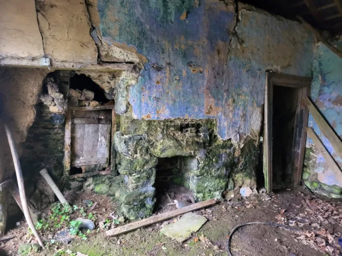
The project established the location of sites including safe houses, training grounds, ambush sites, and barracks, and has assessed the extent to which these survive into the present day.
Evidence ranges from bullet impact scars on the facades of buildings to dugouts where men and weapons were hidden, to field boundaries behind which combatants sheltered during ambushes, still unaltered from their revolutionary-period form.
The results of that research is available at storymaps.arcgis.com.
“The archaeology of Ireland’s War of Independence and Civil War is one of the most engaging heritage resources in the country. There is an extraordinary diversity of surviving revolutionary heritage, much of which remains unrecognised and unrecorded” the project leaders said.
“This means that it is particularly vulnerable to loss, damage, and destruction over time, particularly as the stories of the period pass out of living memory.
“Identifying these places and understanding their inter-relationships reveals how events unfolded on the ground, and provides insights into the organisational infrastructure (such as safe houses and munitions factories) which facilitated IRA activity”.
The project was funded by Research Ireland and was conducted in collaboration with Abarta Heritage.


